Clark Fork River Area
Campground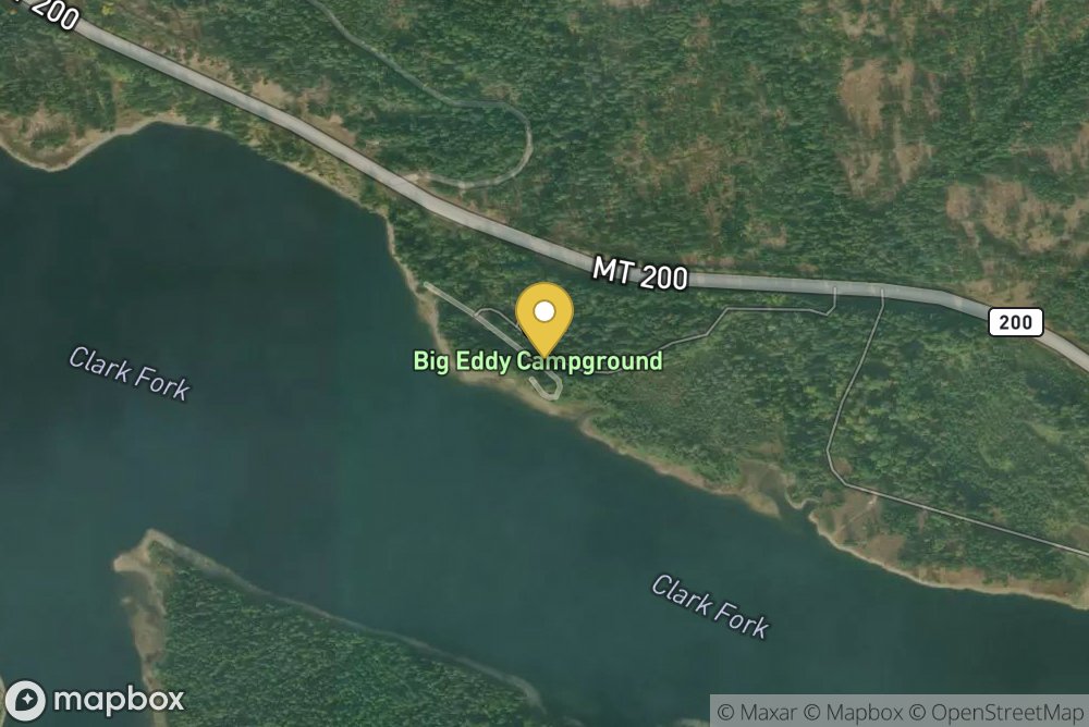
The Clark Fork River Area (Cabinet Ranger District) is bordered by the Idaho line on the west and the Cabinet Mountains Wilderness on the east. The Clark Fork River flows north and west through the District, and the Bull and Vermilion Rivers join it from the north. Rugged peaks ranging in elevation from 6000-8700 feet overlook the valley bottom.Almost ½ million acres of National Forest lands offer a full range of year-round recreational opportunities. Approximately 400 miles of trail are avai...
MT 200, Sanders County, ID, 59844
Tap and drag to pan; scroll or pinch to zoom. Use the satellite/streets toggle for terrain detail.
No reviews yet. Be the first to share your experience.
Report an Issue
Information on this page is gathered from public sources and is accurate to the best of our knowledge. Availability, pricing, amenities, and policies are subject to change at the discretion of the facility owner. Please contact the facility directly to confirm current details before planning your trip.