Alkali Draw WSA
Equestrian Center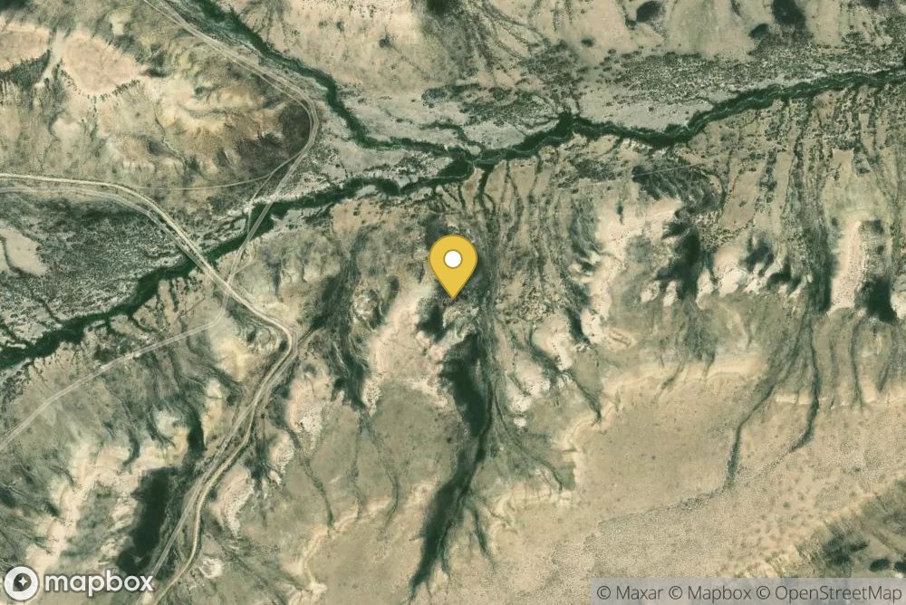
The Alkali Draw WSA encompasses 16,990 acres of BLM-administered land and 640 acres of state land. The study area includes a portion of the Red Desert Area. Alkali Draw in the main drainage running eastwardly from the Bush Rim and Steamboat Mountain. A series of smaller draws creates a washboard topographic effect. Big sagebrush and grease wood are the principle vegetative species.This area offers primitive and unconfined recreation such as hiking, horseback riding, camping, photography and sigh...
Rock Springs Field Office, Rock Springs, WY, 82901
Tap and drag to pan; scroll or pinch to zoom. Use the satellite/streets toggle for terrain detail.
No reviews yet. Be the first to share your experience.
Report an Issue
Information on this page is gathered from public sources and is accurate to the best of our knowledge. Availability, pricing, amenities, and policies are subject to change at the discretion of the facility owner. Please contact the facility directly to confirm current details before planning your trip.